Where To Bike In Southern West Virginia
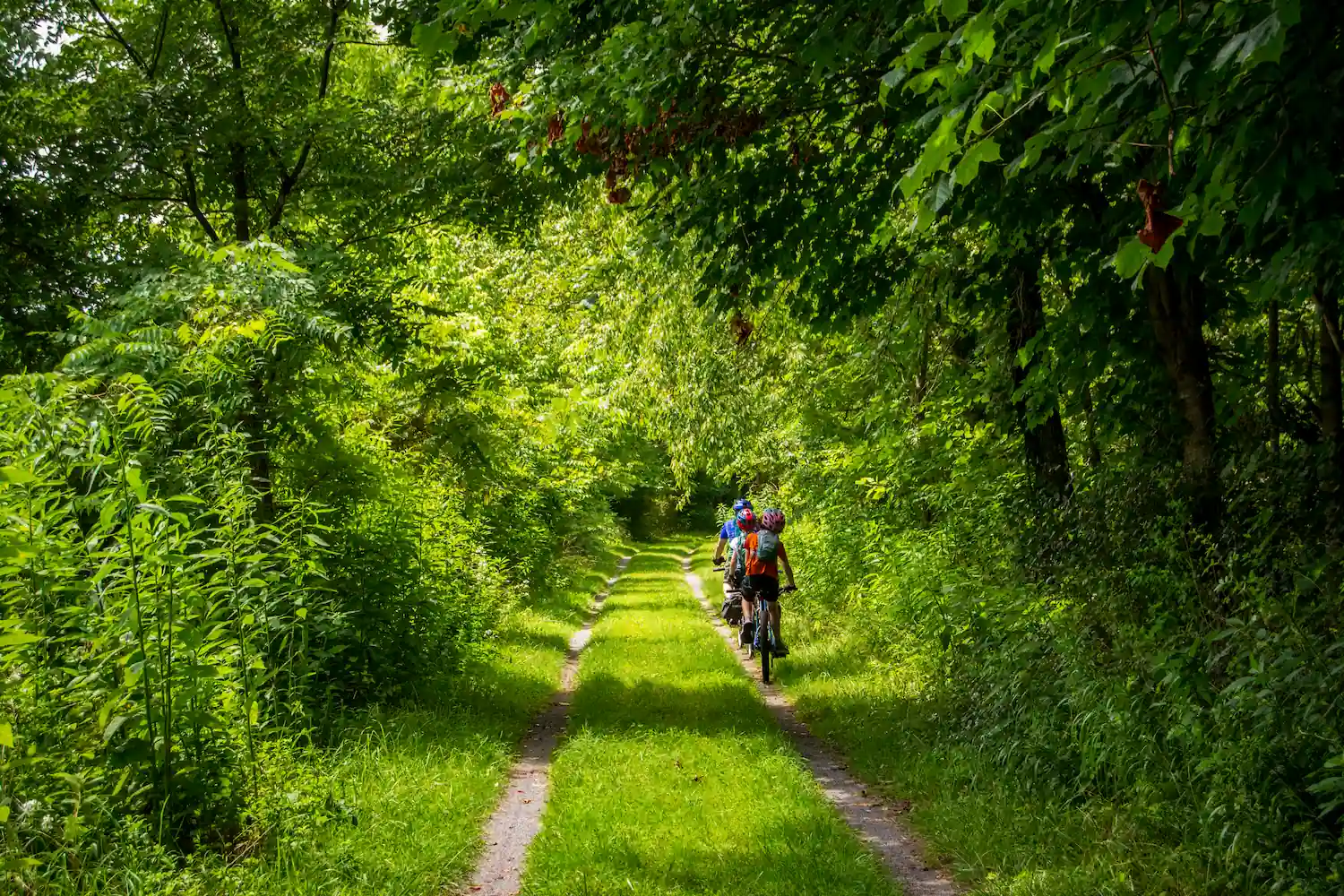
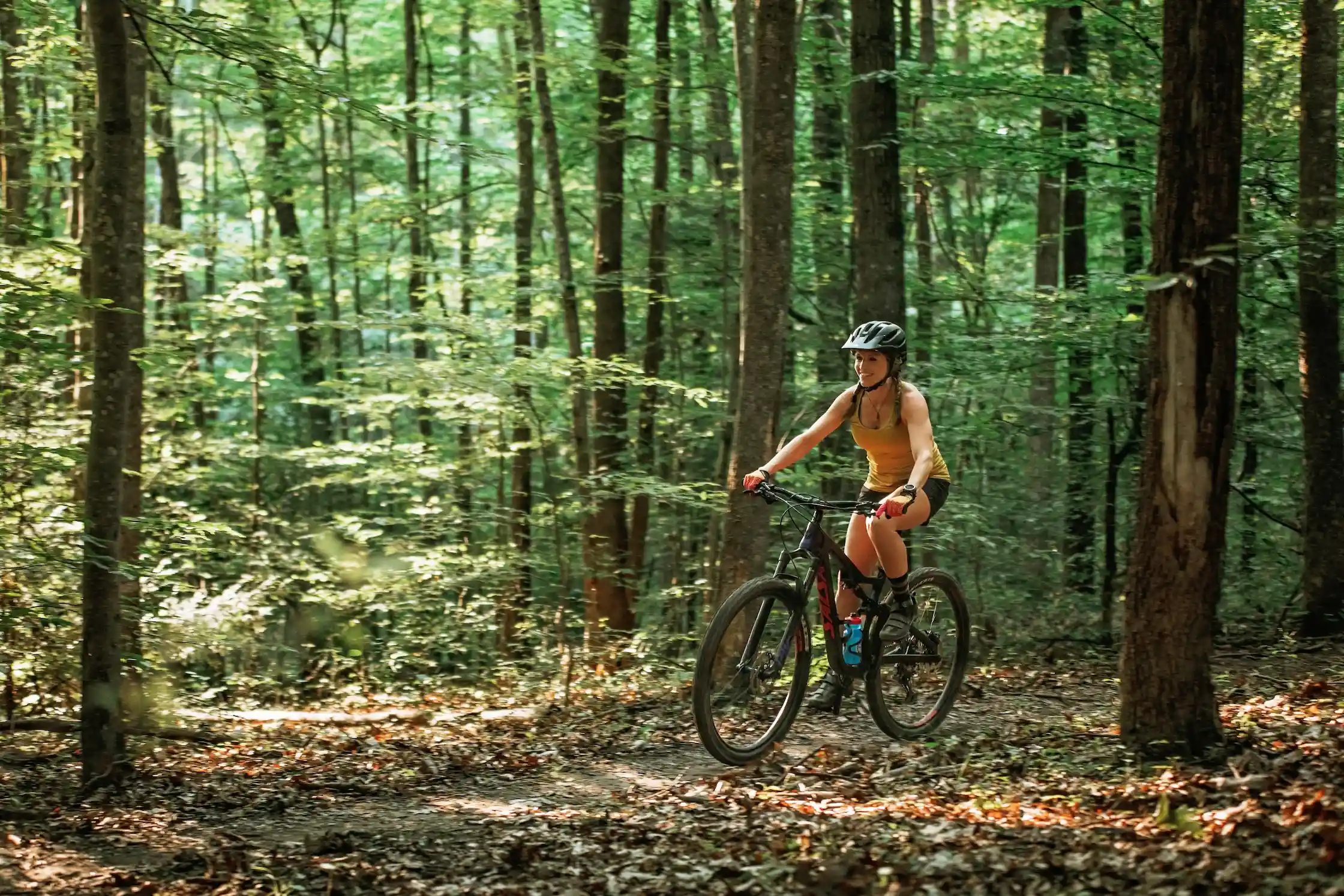
Ride at your own pace and take in the beauty of Southern West Virginia from the top mountain biking trails across the region. From flat, riverside rail trails to steep, technical singletrack, there’s a route for every rider. Whether you’re planning a family outing, chasing a new challenge or packing up for a multi-day trip, it’s easy to find a trail that matches your adventure goals. Read on for some of the best places to bike in Southern West Virginia.
Beginner-Friendly & Family Rides
Clovis Loop (easy)
The Arrowhead Trails are a purpose-built stacked loop system in the New River Gorge National Park and Preserve. Ease into your ride with the Clovis Loop, a one-mile inner loop that offers a flat, obstacle-free introduction.
Triple Tipple Loop (easy)
Located at Needleseye Park in Oak Hill, the nearly two-mile Triple Tipple Loop combines all three easy-level Tipple Loops into one ride. These beginner-friendly trails are designed with first-time riders in mind.
Please note: Ongoing construction at Needleseye Park may impact access to trailheads.
Stone Cliff Trail (easy)
Stone Cliff Trail is a retired road-turned-trail that follows the banks of the New River for nearly three miles. The trail ends in an old-growth forest and provides access to the river.
Please note: The Stone Cliff Trail is the only trail within the New River Gorge National Park and Preserve that permits the use of e-bikes. Visit the National Park website to learn more about cycling rules and guidelines.
Rend Trail (easy)
A historic 3.4-mile route, the Rend Trail passes the former boomtown of Thurmond. Broad and well-graded, it’s a laid-back ride with sweeping views of both the New River and the historic town.
Clear Fork Rail Trail (easy)
This five-mile packed gravel trail runs through the forest and surprises riders with a tucked-away waterfall. Access the trail at Jarrolds Valley, 101 Rich Lane in Whitesville.
Southside Trail (easy to intermediate)
Southside Trail is a seven-mile riverside trail that delivers views of the New River and passes through several abandoned mining towns.
Park Loop (easy to intermediate)
Starting at the Fayetteville Town Park, tackle the mild 1.1-mile singletrack Park Loop. This trail connects to the Fayetteville Trail, which links to the Kaymoor Trail and the Arrowhead Trail System. Additionally, the town park has a public-access paved bicycle pump track and a new Bike Skills Area, which features beginner-friendly trails and obstacles to sharpen biking skills.
Gray Flats Trail System Ride (easy to intermediate)
Part of the Piney Creek Trail System in Beckley, the 6.7-mile Gray Flats loop circles the entire system. Expect varied elevation, rocky stretches, creek views and bridges.
Wilderness Trail (easy to intermediate)
Located in Babcock State Park, the 1.8-mile Wilderness Trail begins with a steep climb before leveling out. With notable elevation changes, the trail provides a good workout while still welcoming beginners.
Scenic and Leisurely Rides
Greenbrier River Trail (easy)
Extending for 78 miles through rural West Virginia along the Greenbrier River, this rail trail is the longest trail of its kind in the state. The accessible trail is comprised of packed gravel, making it well-suited for beginner-friendly or family rides. The Greenbrier County trailhead is located just 1.3 miles north of Caldwell.
For a truly unique trail adventure, book a trek with The Greenbrier Goat. As you bike along the rail trail, trained goats will carry your gear, and depending on your chosen experience, your guide will serve a gourmet breakfast or lunch.
Meadow River Rail Trail (easy)
Stretching for over nine miles alongside the Meadow River, the Meadow River Rail Trail offers an ideal route for leisure biking, featuring a smooth crushed stone surface. Reach the trailhead conveniently from Russellville or Nallen.
Cranberry Tri-Rivers Rail Trail (easy)
Winding for over 16 miles along the Cherry, Gauley and Cranberry Rivers, the Cranberry Tri-Rivers Rail Trail is a scenic, beginner-friendly ride. The trail begins behind the Visitors Center in downtown Richwood and enters the Monongahela National Forest after the first six miles
Lake Shore Trail (easy)
Pedal around Long Branch Lake on this 2.2-mile trail at Pipestem Resort State Park. This gentle off-road loop can be reached via the Lake View, Law Hollow or Long Branch Trails.
Lake Front Trail (easy)
The 1.1-mile Lake Front Trail loops around the 18-acre lake at Little Beaver State Park, providing a low-difficulty, scenic ride.
Lake View Trail (easy)
Follow the 0.7-mile trail around the shoreline of Jimmy Lewis Lake at Pinnacle Rock State Park for a peaceful, lakeside ride.

Turkey Loop Trail (easy)
The 8.7-mile Turkey Loop Trail winds through Camp Creek State Park, crossing the creek several times and providing a view of Mash Fork Falls. Most forest trails in the park connect to Turkey Loop, making it easy to extend your ride.
Keeneys Creek Rail Trail (easy to intermediate)
This 3.5-mile gravel trail follows a former railroad route from Keeneys Creek to Nuttallburg. With a steeper grade than most rail-trails, the trail meanders through forested terrain and crosses several creeks, blending natural beauty with historic remnants.
Bluestone Turnpike Trail (easy to intermediate)
Follow the route of an old riverbank road along the 9.5-mile Bluestone Turnpike Trail. The trail can be accessed via Bluestone State Park to the north and Pipestem Resort State Park to the south.
Intermediate Adventure Trails
Inner Blue Loop (intermediate)
Located at Needleseye Park, the 3.8-mile Inner Blue Loop combines five trails featuring downhill and gravity elements. Riders climb 521 feet to a maximum elevation of 2,067 feet before descending back down.
Adena Loop (intermediate)
The middle loop of the Arrowhead Trails, the 2.9-mile Adena Loop, offers fast descents, rolling terrain and wide, sweeping corners.
Dalton Loop (intermediate)
The outermost loop of the Arrowhead Trails, the 7-mile Dalton Loop, follows the natural contours of the hillside with rocky terrain and tight turns through the trees. The LaCroy Trail branches off Dalton, adding minor technical elements and access to the Long Point Trailhead.
Mann’s Creek Gorge Trail (intermediate)
The 2.5-mile Manns Creek Gorge Trail at Babcock State Park blends short climbs, narrow wooded stretches and slightly technical downhill sections.
Timber Ridge Trail (intermediate)
A 0.9-mile moderate singletrack, Timber Ridge Trail follows an old forest road along the New River Gorge ridge. The trail connects to both the Fayetteville Trail and Long Point Trail.
Piney Bluff Trail (intermediate)
Beginning at the Gray Flats South-North Trailhead, the 1.4-mile Piney Bluff Trail is a narrow singletrack featuring tight turns and a unique rhododendron tunnel. Ride the trail from late May to July to catch the blooms at their peak.
Moonshiners Trail (intermediate)
Located at Twin Falls Resort State Park, the 2.8-mile Moonshiners Trail offers tight, twisty singletrack through lush ferns and hemlocks.
County Line Trail (intermediate)
This steep, rugged 1.9-mile trail at Pipestem Resort State Park descends into the forest, crosses two knobs and passes Indian Branch Falls. Riders can extend the journey by continuing on the River Trail, a 5.25-mile path along the Bluestone River. Be prepared for river crossings and an aerial tram ride (fee applies).
NICA Race Course: Twin Falls (intermediate)
This 4.2-mile course at Twin Falls Resort State Park starts with a one-mile dirt road before transitioning into three miles of machine-built trail. Riders will find smooth berms, gentle rollers and a fun, flowly layout perfect for racing or casual riding.
Corona Trail (intermediate to difficult)
Hop on the 5.6-mile Corona Trail from the Marauder Trail at Wolf Creek Park. Ride across a small berm and a wooden creek crossing, while enjoying punchy climbs, rock gardens and culvert creek crossings. For a final test of skill, take on the skinny playground at the trail’s end.
Advanced Mountain Biking & Technical Trails
Black Bear Trail (intermediate to difficult)
The 1.4-mile Black Bear Trail at Greenbrier State Forest includes steep descents, tough climbs, narrow bench-cut sections and tight switchbacks.
Moonshine Hollow Trail (difficult)
Located at Wolf Creek Park, the 2.7-mile Moonshine Hollow Trail challenges riders with rock gardens, creek beds, rock spines, rhododendron tunnels and evergreen forest sections.
Dynamite Session Loop (difficult)
This short but intense downhill loop at Needleseye Park is built for repeat sessions. The nearly half-mile, one-way trail incorporates the intermediate Whistleblower and Shuttlecar Trails before dropping into the advanced Dynamite Trail for an adrenaline-packed ride.
Le Tour de Beaver (difficult)
At Little Beaver State Park, Le Tour de Beaver is a 10-mile technical cross-country trail twisting through hemlock, hardwood and rhododendron forest. Expect rolling hills, short steep climbs and descents, and numerous rock gardens that will test your skills.
Little Laurel Trail (difficult)
The 2.7-mile Little Laurel Trail at Grandview is a tough out-and-back ride. Descend toward the New River, passing the historic Royal Coal Mine, then prepare for a steady climb back to the trailhead.
Roller Coaster (difficult)
True to its name, this 1.1-mile trail delivers rolling terrain with jump opportunities and quick elevation changes. Choose your line via multiple split-offs, from smooth singletrack to steep, rocky sections, then loop back to the trailhead.
Bikepacking & Long-Distance Routes
New River Coal Country (difficult)
Covering 31.5 miles, the New River Coal Country route explores the coal heritage of the New River Gorge. The ride begins on the purpose-built singletrack of the Arrowhead Trail System, descends several hundred feet and winds into Fayetteville, making it a great spot for a break, an overnight base camp or an alternate starting point.
George Washington and Jefferson National Forest (easy to difficult)
With over 1,100 miles of biking trails, the George Washington and Jefferson National Forest is a top destination for bikepacking. More than 40 developed campgrounds are scattered throughout the forest, offering plenty of options for overnight stays.
Greenbrier River Trail (easy)
This long-distance rail trail is ideal for bikepacking, with camping shelters, tent sites, restrooms and water sources located along the route.
Safety Tips and Leave No Trace Reminders
It’s up to all of us to keep our trails clean and safe for the next adventurer. The best way to protect our wild and wonderful spaces is by following the Leave No Trace Principles:
- Plan Ahead and Prepare
- Travel and Camp on Durable Surfaces
- Dispose of Waste Properly
- Leave What You Find
- Minimize Campfire Impacts
- Respect Wildlife
- Be Considerate of Others
With your help, we can ensure these special places remain beautiful, thriving and accessible for generations to come. By respecting the land, its critters and its history, we all play a part in preserving the places we love.
Hit The Trails
Explore the trails of Southern West Virginia and share your best photos using #VisitWV for a chance to be featured on our social channels!
Request a free travel guide to learn more about Southern West Virginia and plan your next trip.